Monitoring and forecasting harmful algal blooms inSan José Lagoon.
This project combines field sampling, satellite remote sensing, environmental data, and forecast models to publish lagoon conditions and bloom risk information.
Study Area
San José Lagoon, San Juan Bay Estuary
Project work
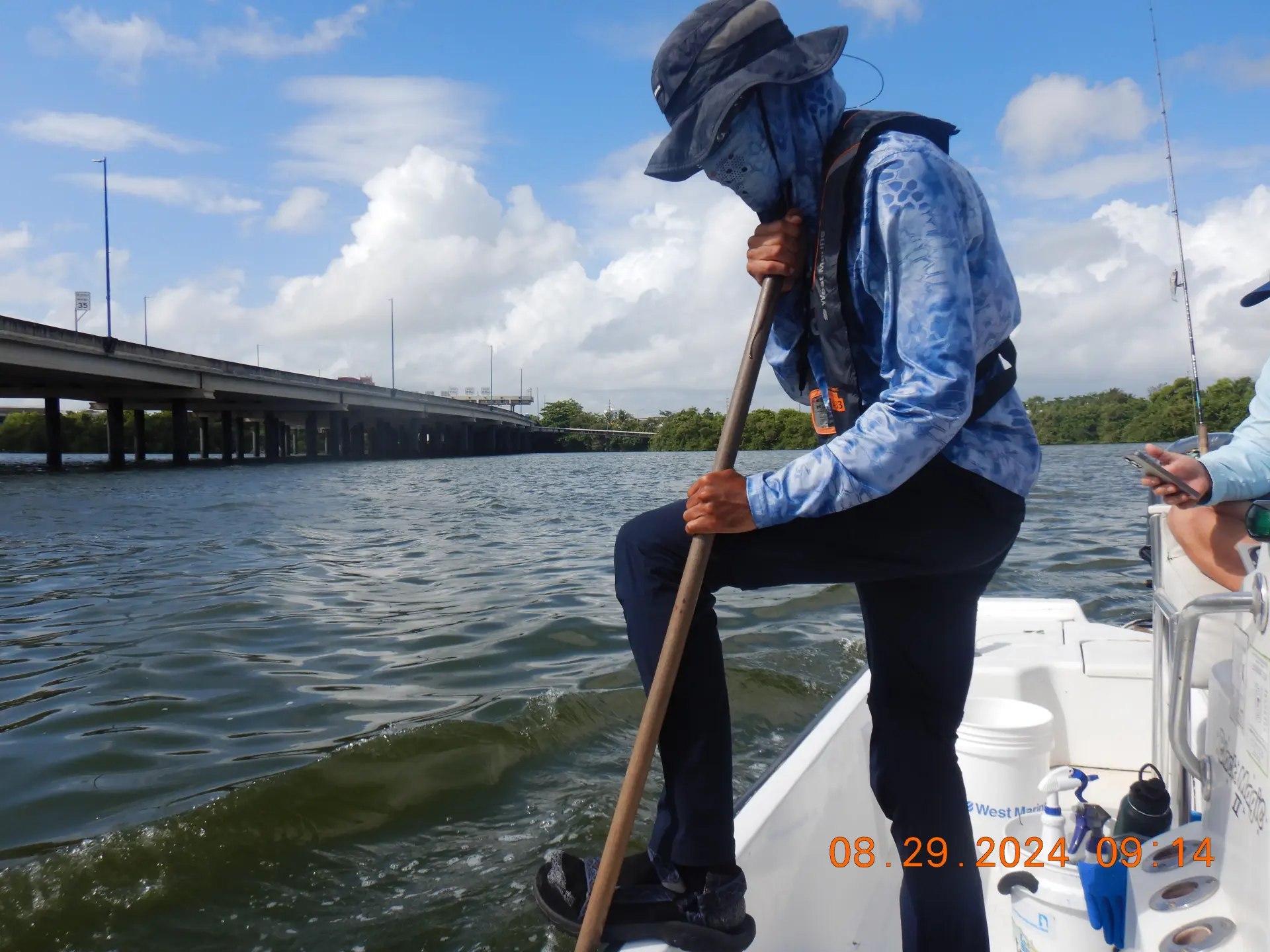
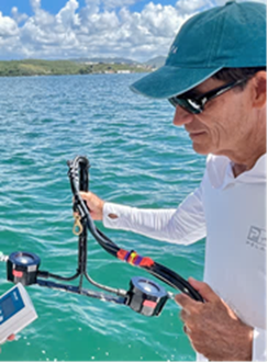
Field Monitoring
The team samples the lagoon to measure water quality, chlorophyll, and other conditions needed to track how the system changes over time.
Satellite Remote Sensing
Satellite imagery is used to estimate chlorophyll and track spatial variability across the lagoon, including data from Sentinel missions and related products.
Forecast Modeling
Machine learning models are evaluated with satellite, meteorological, and in-situ data to estimate short-range bloom risk.
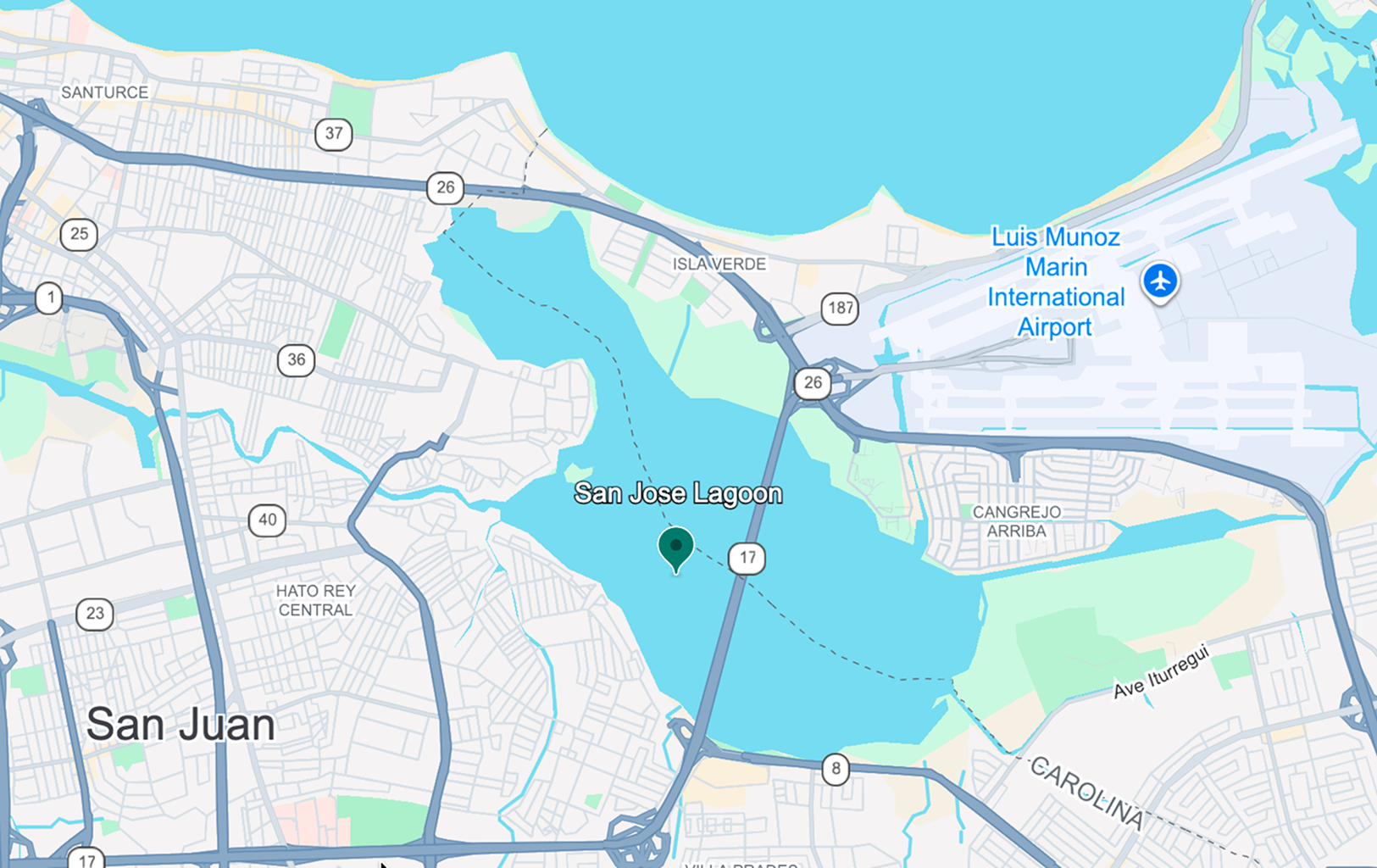
San José Lagoon
Why San José Lagoon
San José Lagoon is an urban estuary with a documented history of eutrophic conditions and harmful algal bloom events. That is why it is being monitored and used for forecast development.
Urban estuary
The lagoon sits within a heavily urbanized watershed and is part of a broader estuarine system.
Longstanding water quality pressure
Nutrient inputs, weak flushing, and strong spatial variability make continuous monitoring necessary.
Research Team
Gustavo A. Martínez
Professor, UPRM
Leads the water quality component and coordinates field sampling, lab analysis, and data reporting.

Raúl E. Macchiavelli
Dean and Director, College of Agricultural Sciences, UPRM
Supports statistical analysis and interpretation across the project.
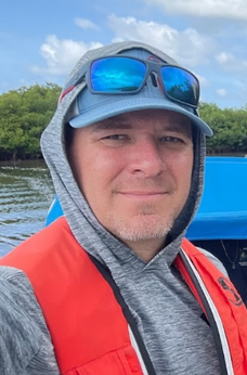
Andre Amador
Assistant Professor, UPRM
Leads forecasting research and public platform development for the HAB component.
William J. Hernández
Environmental Mapping Consultants LLC
Leads satellite remote sensing work and supports field monitoring for lagoon water quality and HAB analysis.
Roy A. Armstrong
Environmental Mapping Consultants LLC
Supports remote sensing analysis and field monitoring tied to chlorophyll and bloom conditions.
Jhon J. Herrera Pérez
Data Scientist, UPRM
Works on data analysis, machine learning development, and the project data pipeline.

Raymond Infante Rosa
Environmental Mapping Consultants LLC
Supports satellite data processing and remote sensing analysis for lagoon conditions.
Gustavo A. Martínez
Professor, UPRM
Leads the water quality component and coordinates field sampling, lab analysis, and data reporting.
Raúl E. Macchiavelli
Dean and Director, College of Agricultural Sciences, UPRM
Supports statistical analysis and interpretation across the project.
Andre Amador
Assistant Professor, UPRM
Leads forecasting research and public platform development for the HAB component.
William J. Hernández
Environmental Mapping Consultants LLC
Leads satellite remote sensing work and supports field monitoring for lagoon water quality and HAB analysis.
Roy A. Armstrong
Environmental Mapping Consultants LLC
Supports remote sensing analysis and field monitoring tied to chlorophyll and bloom conditions.
Jhon J. Herrera Pérez
Data Scientist, UPRM
Works on data analysis, machine learning development, and the project data pipeline.
Raymond Infante Rosa
Environmental Mapping Consultants LLC
Supports satellite data processing and remote sensing analysis for lagoon conditions.
What this site
is for
This website is the public-facing layer of the project. It shows forecast results, mapped conditions, and the basic context needed to read them.
Field
Observed Data
Satellite
Remote Sensing
Models
Forecasting
Website
Public Delivery